Nandu Chavan
+91 - 9892042704

Welcome to our gear store!

Garmin GPS Etrex 10

Brand : Garmin
8,929.00

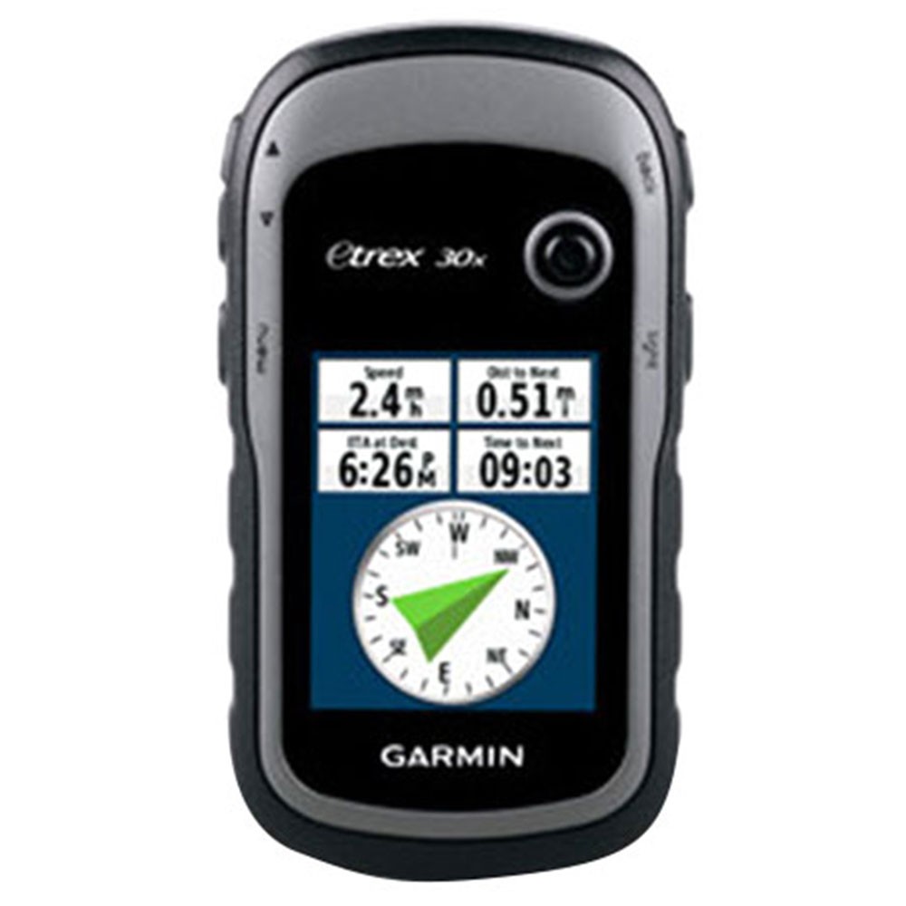
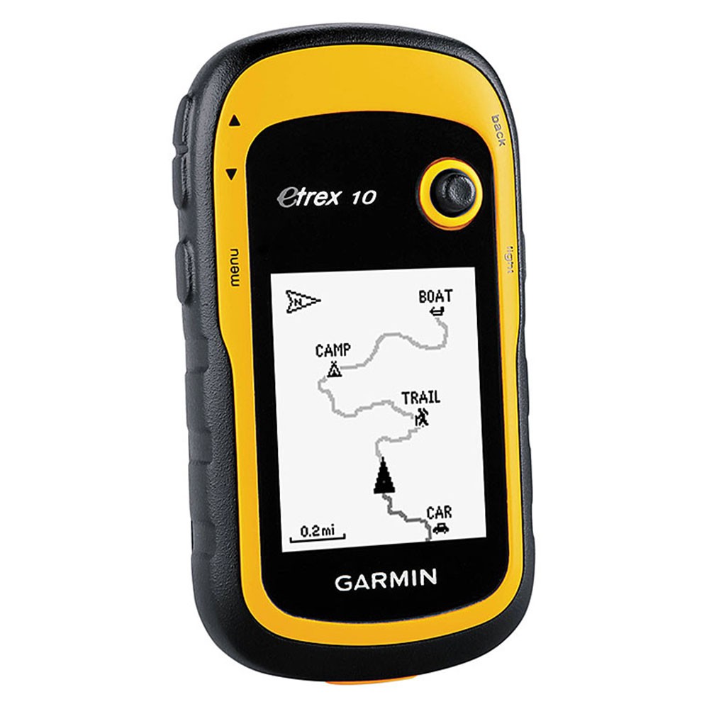
• Display type: transflective, monochrome
• Display size: 1.4" x 1.7" (3.6 x 4.3 cm); 2.2" diag (5.6 cm)
• Display resolution: 128 x 160 pixels
• Battery life: 25 hours
• Physical dimensions: 2.1" x 4.0" x 1.3" (5.4 x 10.3 x 3.3 cm)
• Weight: 5 oz (141.7 g) with batteries
• Water rating: IPX7
• Battery: 2 AA batteries (not included); NiMH or Lithium recommended
• Interface: USB
• Waypoints/favorites/locations: 1000
• Routes: 50
• Track log: 10,000 points, 100 saved tracks


Details:

FEATURES

Paperless Geocaching

• Spend more time in the field and less time fumbling with paper. The eTrex stores and displays key information, including location, terrain, difficulty, hints and descriptions, which means no more manually entering coordinates and paper print outs. Simply upload the geocaching GPX file to your device and start hunting for caches.

Track More Satellites

• Find your way with the first consumer-grade GPS receiver that tracks both GPS and GLONASS satellites simultaneously. When using them together, the receiver has the ability to lock on to 24 more satellites than using GPS alone, giving you your position quickly.

User-friendly Layout

• Skip the confusion about how to find things. eTrex is easy to use with intuitive navigation screens.

Pick Your Profile

• Customize eTrex for every occasion. Profiles allow eTrex to quickly switch into different configurations that you create, so when you’re done geocaching and you need to drive home, your eTrex won’t miss a beat.

More Dashboards in More Places

• Bring more functionality into frequently used applications with personalized dashboards. Avoid switching between applications and display more information by customizing your dashboards with an altimeter, compass, configurable data fields and more.

Advanced Tracking

• Whether following a saved route or planning a new one, eTrex has the tracking features you need. See high and low elevation points or store waypoints along a track (start, finish and high/low altitude) to estimate time and distance between points.
Courier facility available.
$(window).load(function() { $('.flexslider').flexslider({ slideshow: false }); });